
TL;DR

Get travel and outdoor gear delivered free with Prime
- Fast, free delivery on millions of items
- Prime Video, Amazon Music and more included
- Member-only deals all year
A recent study in Nature Cities shows that system-wide routing adjustments via navigation apps can improve traffic flow and reduce emissions. Even small changes led to measurable benefits across multiple cities. This approach offers a new blueprint for smarter urban transportation.
A large-scale experiment in 10 major US cities has demonstrated that targeted routing interventions via navigation platforms can significantly improve traffic flow and reduce emissions. This confirms that even small, system-wide adjustments to routing algorithms can yield measurable urban transportation benefits, marking a step toward smarter, more efficient traffic management.
The study, published in Nature Cities, involved modifying Google Maps to favor alternative routes with similar travel times, guiding vehicles away from congested segments. Over six months, the experiment employed a crossover design, alternating between modified and standard routing daily, affecting less than 2% of trips but producing statistically significant improvements.
Results showed median increases of approximately 2% in driving speeds on targeted segments, along with reductions in fuel consumption of 0.5% to 1%, translating into thousands of tons of CO2 emissions saved annually per city. The traffic dispersal led to higher speeds on peripheral roads and lower overall emissions, even as vehicle volumes increased on diverted routes.
Implications for Urban Traffic and Climate Goals
This research demonstrates that coordinated, system-wide routing interventions can meaningfully alleviate congestion and cut emissions in urban environments. The findings suggest that integrating such strategies into smart city infrastructure could lead to more sustainable transportation systems, benefiting both commuters and the environment.
By showing that small, targeted changes can produce systemic improvements, the study paves the way for broader adoption of AI-driven traffic management tools, potentially transforming how cities handle congestion and reduce their carbon footprint.
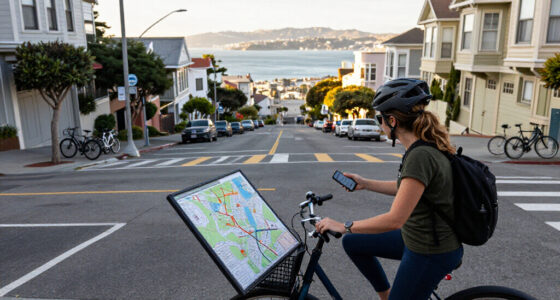
GPS navigation app for traffic optimization
As an affiliate, we earn on qualifying purchases.
As an affiliate, we earn on qualifying purchases.
Background on Traffic Optimization and Smart City Initiatives
Ground transportation accounts for roughly 10% of global CO2 emissions, with urban congestion contributing significantly to air pollution and lost productivity. While individual navigation apps optimize routes for users, large-scale, system-wide coordination has remained elusive. Recent advances, such as Google’s Project Green Light, have demonstrated the potential of AI to optimize city traffic signals, but comprehensive network management has faced challenges due to limited empirical validation.
This study builds on prior efforts by providing real-world evidence that coordinated routing, guided by connectivity and experimentation, can improve overall traffic conditions. The approach aligns with broader smart city initiatives aimed at integrating data and AI to enhance urban mobility.
“Even guiding a small fraction of trips away from congestion points can produce systemic benefits for entire cities.”
— Lead researcher from Google Research
Unanswered Questions About Scalability and Adoption
It remains unclear how easily these targeted routing strategies can be scaled to larger cities or integrated into existing traffic management systems. The long-term behavioral responses of drivers and the potential for unintended congestion shifts also require further study. Additionally, the willingness of navigation platform providers and city authorities to adopt such coordinated interventions is still uncertain.
Next Steps for Research and Implementation
Researchers plan to expand trials to additional cities and refine algorithms for broader adoption. Policymakers and technology companies are encouraged to collaborate on integrating these findings into urban traffic systems. Future work will focus on real-time adaptive control and expanding experimentation to include dynamic signal timing and other smart infrastructure components.
Key Questions
How significant are the traffic improvements from these interventions?
The study reports median increases of around 2% in driving speeds on targeted segments, with associated reductions in fuel consumption and emissions, which are meaningful at the city scale.
Can this approach be applied in all cities?
While promising, the effectiveness depends on existing congestion levels, infrastructure, and cooperation among stakeholders. Further research is needed to assess scalability.
Will drivers notice the routing changes?
In the study, less than 2% of trips were rerouted, so individual drivers may not notice, but the collective effect benefits all users through reduced congestion.
What are the environmental benefits of this approach?
The experiment indicated potential reductions of thousands of tons of CO2 emissions per city annually, contributing to climate mitigation goals.
What challenges remain before widespread adoption?
Key challenges include integrating these strategies into existing traffic systems, ensuring driver compliance, and securing stakeholder cooperation.
Source: Hacker News
Halloween Picks
halloween
As an affiliate, we earn on qualifying purchases.